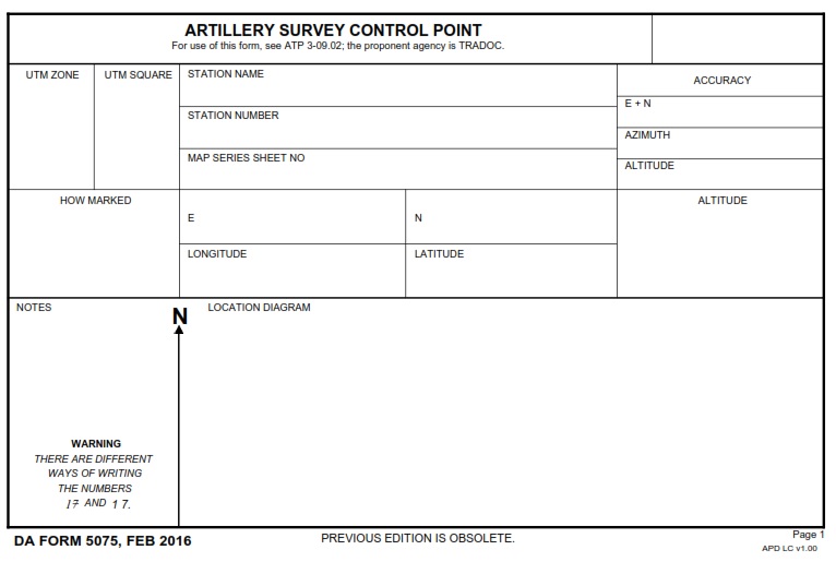
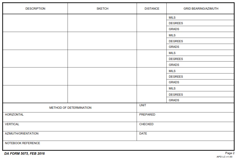
DAFORMS.NET – DA FORM 5075 – Artillery Survey Control Point – The DA Form 5075 is an important record-keeping document for the United States Army. It serves as a tool to keep track of artillery survey control points, which are used to accurately measure and record coordinates for artillery fire missions. Knowing the exact location of artillery survey control points is essential for successful planning and execution of fire missions.
Download DA FORM 5075 – Artillery Survey Control Point
| Form Number | DA FORM 5075 |
| Form Title | Artillery Survey Control Point |
| Published | 02/01/2016 |
| Prescribing Pub | ATP 3-09.02 |
| File Size | 32 KB |
DA FORM 5075 (16107 downloads )
What is a DA FORM 5075?
Artillery Survey Control Points (ASCPs) are an important tool used by the United States Army to accurately determine the location of artillery pieces. This article will serve as a guide to understanding DA Form 5075, which is used for tracking and recording survey control points within the Army’s artillery operations. DA Form 5075 contains a variety of useful information, such as coordinates, date/time of observation, range/azimuths, and the identification number of each control point.
Where Can I Find a DA FORM 5075?
The importance of surveying artillery control points and maintaining accurate records of them cannot be understated. DA FORM 5075 is the U.S. Army standard for documenting these control points, which must be accurately measured for accuracy and safety when it comes to artillery operations. This article will discuss what a DA FORM 5075 is, how it is used, and why it is important for the accuracy of artillery survey control points.
DA FORM 5075 – Artillery Survey Control Point
The DA Form 5075 is an important document for any artillery surveyor as it serves as the foundational point from which all survey operations are conducted. This form is used to establish control points for surveying and mapping activities related to artillery systems and other military operations. The information collected in this form helps to provide a reference for measuring distances, angles, and other factors that must be considered when aiming artillery systems or conducting other mapping operations.

